
Several pattern flips bring chances of rain and snow to the Plains
Get ready for a lot of up and down on temperatures over the next 10 days or so. These temperatures flips will eventually lead to a pattern that will favor more frequent chances of rain and snow for parts of the Central Plains that really need the moisture.

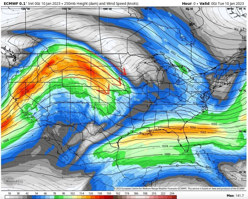
The current pattern which has been mostly dry with above average temperatures for the Central Plains
This NW flow around a ridge of high pressure generally means dry weather. Depending on where the air mass is coming from it can mean cool to mild temperatures or if the air is coming in further from the north it could spell out rather cold weather. Right now, that air is coming off the Pacific Ocean so it’s relatively mild. Not bad for January! We’ll go from this NW flow to this…

Pattern setting up for next week which signals chances for rain and snow
After some back and forth between now and the beginning of next week, the overall pattern will flip to a SW flow. SW flow allows moisture to come in and around the Rockies and into the Central Plains. Models are picking up on several systems that could bring some beneficial moisture! So let’s take a look.
System 1 mostly stays south of Nebraska
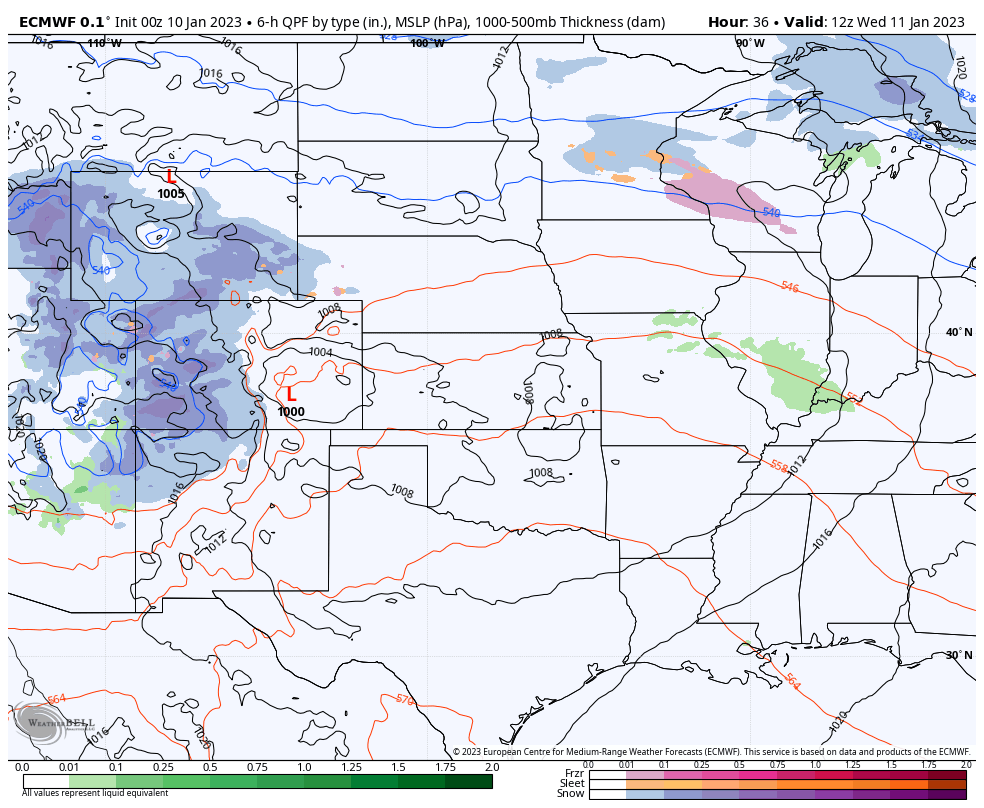
This system moves across the middle of the country Wednesday into Thursday. Aside from some the western side of the state and then the extreme SE corner, most of the precip from this system goes south across Kansas and Missouri. Then the system turns and moves NE into the Great Lakes. That will bring more rain and storms to the south and Midwest, but we miss most of it. This system will pull some colder air down from Canada behind it.
North winds behind System 1 brings colder air down from Canada and sends high temperatures down some 10-20 degrees from earlier this week.
We’ll stay cooler for Wednesday, Thursday and Friday with highs dropping from the 40s to the 30s and lows dropping from the upper 20s to the teens by Sunday morning. But then, another flip for the weekend!

West winds around a ridge of high pressure brings mild and dry conditions for the weekend! Highs return to the upper 40s and maybe even 50s!
The Big Flip
Dry NW Flow

Unsettled SW Flow
As mentioned above, we’re going to flip from NW flow to SW flow which will kick up the chance for precipitation for much of next week. We’ll see about a day in between each system if models have the solution right on this idea.
System 2 brings rain, snow, & ice to Nebraska

System 2 moves NE across the Central Plains on Monday
Here we see an area of low pressure develop in Colorado and quickly move from SW to NE across Kansas and into SE Nebraska on Monday. It would be rain for areas along I-80, some ice or mix NE Nebraska, and snow for North Central Nebraska. Mostly rain for Iowa. It’s important to note that if this system trend south a little, but not too much, we may see more snow and ice from this one. Something to watch!
System 3 may bring more widespread snow

System 3 develops in Colorado Tuesday night and moves through Kansas on Wednesday
This system’s track is a little further south than system 2. System 2 won’t do much to bring colder in, but system 3 will be stronger and will pull that colder air into it. For those two reasons, it looks like system 3 could be more wintry than rainy. Of course, for our friends down south, it means yet another round of rain and storms.
System 4 looks weaker but brings another shot of precip
System 4 develops a little further south and east than the previous three and quickly moves across Kansas and Missouri on Friday
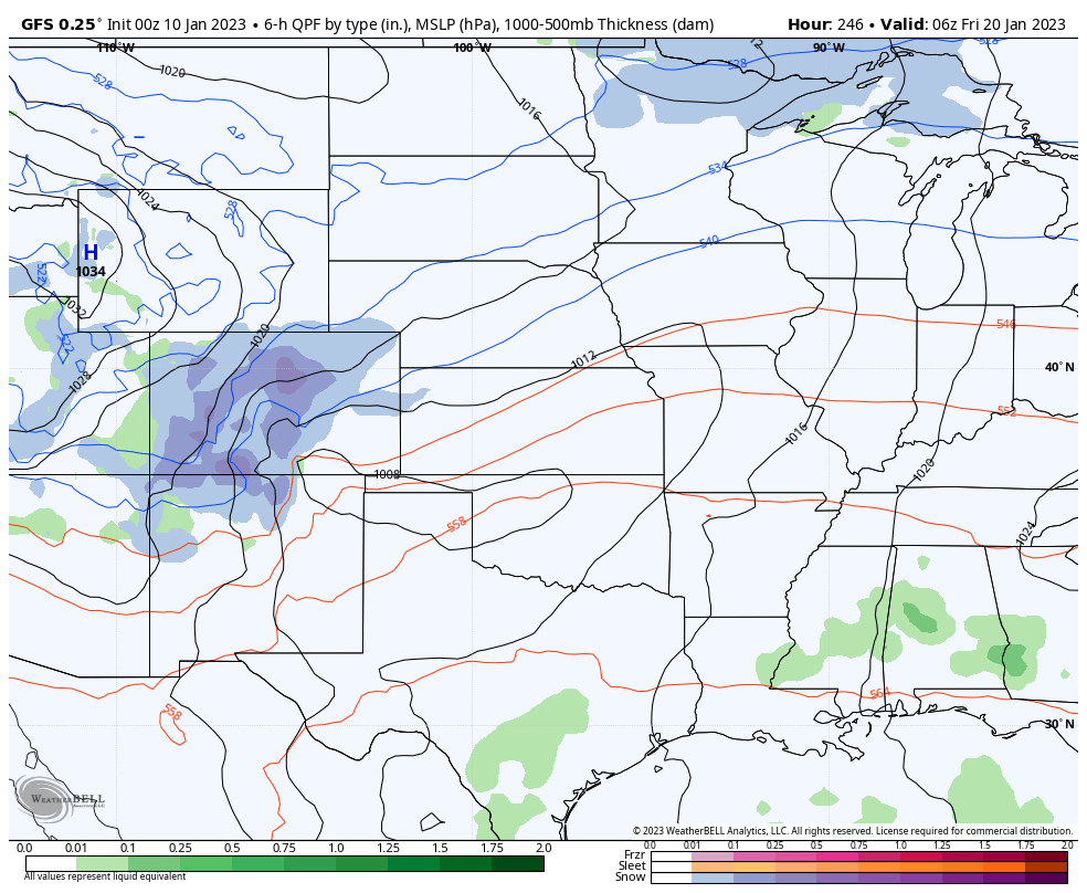
System 4 appears to be one of the weaker of the group and will mark the end of the stormy period I’m seeing right now. It’s one last shot of some light snow across Eastern Nebraska before it starts to look colder and drier for the last part of January.
Totals from all of these systems aren’t extremely impressive at present, but there is a lot of time for that to change! Any moisture is beneficial right now, so you won’t hear me complain about it!
Follow us on Facebook: https://www.facebook.com/StormGuides
Help us reach more people: https://stormguides.live/donate
Need a personalized forecast for an upcoming event or trip? We can help you make better plans!
Email us: https://stormguides.live/contact