
The Next Big Storm Coming Next Week

Long range models have been picking up on a big system developing in the middle of the country mid to late next week and then sliding up the East Coast into the weekend. Some will see more rain, some will see storms (perhaps some strong ones), and other may catch some snow or a little bit of everything.
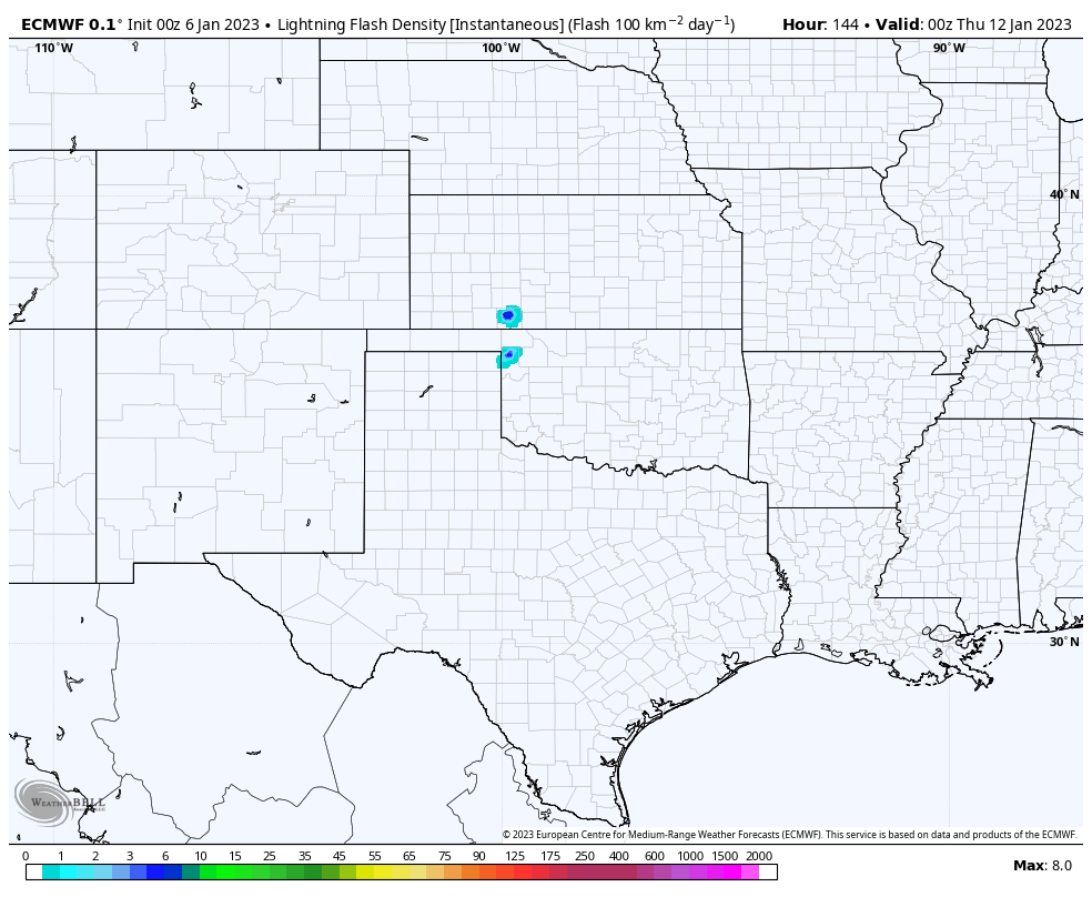
As you can see above, a large storm system is shown developing across the Central Plains on Wednesday/Thursday of next week. Models differ on timing and placement a bit, but the overall signal is that this storm will come to life. The system becomes better organized as it moves up to the northeast.
What does it mean?
Well, it means more rain in areas that could probably use a break and unfortunately could mean another round of severe weather in parts that are so tired of it recently. However, areas that haven’t seen a ton of snow yet this year may actually get some from this system. Let’s break it down!
The stormy side
Thursday night into Friday per the EURO.
No surprise here, the ArkLaTex, ArkLaMiss, Mississippi, Louisiana, and even SE Texas are being highlights in this section. As the storm comes together over the plains, it will pull in some moisture (there’s question as to how much right now), it will be warm, and winds above the surface will be blowing pretty hard. All of those things signal thunderstorms. It’s worth noting the GFS doesn’t show as much storm activity as the EURO shows here.
This one looks more like a possible wind event to me than a tornado outbreak right now, but with severe storms it’s always hard to completely rule out tornadoes. So we’re not going to cut that chance out yet. It’s mighty early after all.

As mentioned, it’s going to be pretty warm preceding this system. Highs the day before reach into the 60s, 70s, and even 80s in spots. The question remains of how much moisture can be pulled in which will impact how much instability there is to work with.

If you go with the EURO and the bullish one of the two right now, We’re seeing plenty of moisture and storms across Louisiana, Mississippi, and into the Tennessee Valley. This is a look at projected rainfall totals between now and when the system passes. So a couple of inches of rain looks like a decent bet this week.
The wintry side

Once this system is done in the Southeast, it will slide up the East Coast and likely get stronger and more wrapped up. This will mean some windy conditions for a lot of the East, rain along the coast and the more southern states, and a chance for mountain snows that would stretch right up into the Northeast. It gets a bit messy as the snow could change over to a mix and eventually rain again in the Northeast.

If this particular scenario plays out, rain would be falling on a snowpack that adds up to a couple of feet in some areas in the Northeast and PA. That’s something to watch as melting snow with falling rain can cause flash flooding issues rather quickly.
Follow us on Facebook: https://www.facebook.com/StormGuides
Help us reach more people: https://stormguides.live/donate
Need a personalized forecast for an upcoming event or trip? We can help you make better plans!
Email us: https://stormguides.live/contact