
Beta Bounce Continued…

The National Hurricane Center’s forecast cone for Beta is very similar to last night’s. They are still calling for her to remain as a Tropical Storm, strike near Corpus Christi late Monday and then wobble along the Texas Gulf Coast for a couple of days before dissipating. This forecast still looks right to us.
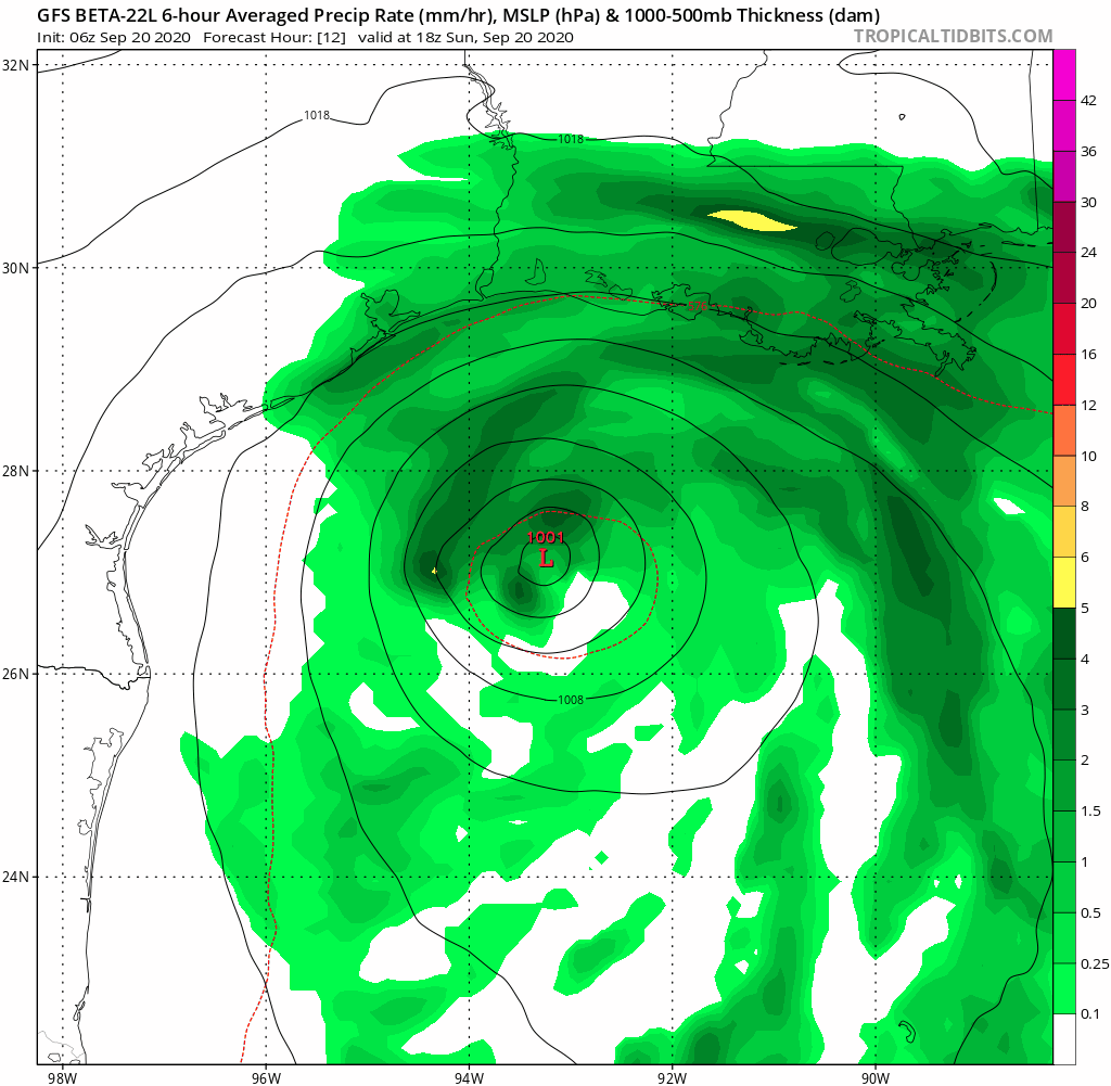
There are still a couple of weather models which are showing a Beta Bounce. She comes ashore, and then bounces back toward the coast before eventually turning northeast towards Lake Charles. We’re not sure if Beta makes it all the way back out into the Gulf of Mexico like this model (the GFS) is showing. But, the concept looks pretty reasonable. She’s not going to be able to continue moving west-northwest very long after landfall, and a turn northeast is going to happen. But, it’s going to happen slowly, and that means rainfall in the same spots for a couple of days.

Now, here is where the forecast has changed a bit. This is the WPC Quantitative Precipitation Forecast for the next 5 days. While is is still showing areas of more than 10” of rain between now and Friday morning, that area is much smaller than yesterday’s forecast. Plus, the area of 6”-10” of rain is smaller as well. This is a positive sign, especially for people in Southeast Louisiana who are still without power from Hurricane Laura. It means the risk of widespread flash flooding is going down. It hasn’t gone away, but it’s trending in the right direction.