
Beryl nears Category 5 in the Caribbean Sea
Hurricane Beryl has had some minor fluctuations in strength over the last 24 hours as the storm underwent an eyewall replacement cycle. However, that cycle is done and the hurricane has strengthen significantly today.

Beryl is the strongest it’s been to date with winds of 150mph and pressure falling to 944 millibars. After making landfall on the Lesser Antilles on Monday, Beryl will now travel over the open water of the Caribbean Sea this week.

Latest model guidance shows a slight tick northward with the path and that now puts Jamaica at risk of a glancing blow by midweek. But, there is good news!
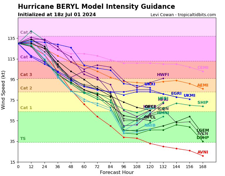
Beryl is expected to slowly weaken on its journey through the Caribbean. This is thanks to some increase in wind shear that the storm will experience.
It’s important to note that even though weakening is likely, Beryl will remain plenty capable of producing life-threatening condition both for maritime and for Jamaica.
So please stay tuned to future forecast and feel free to schedule a call with a certified meteorologist to ask any questions you have about Beryl or other worrisome weather.