Severe weather and tornadoes shift southeast
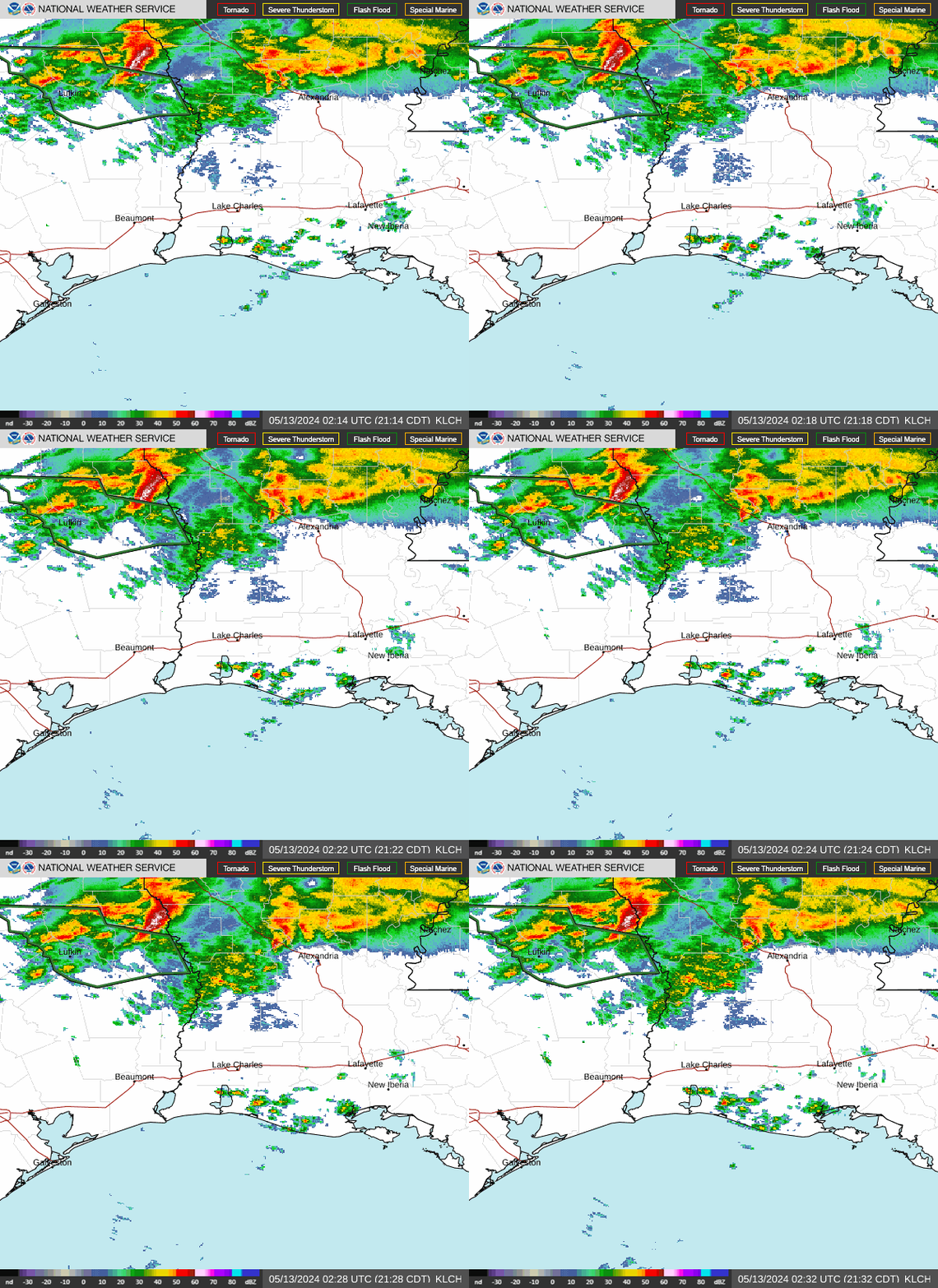
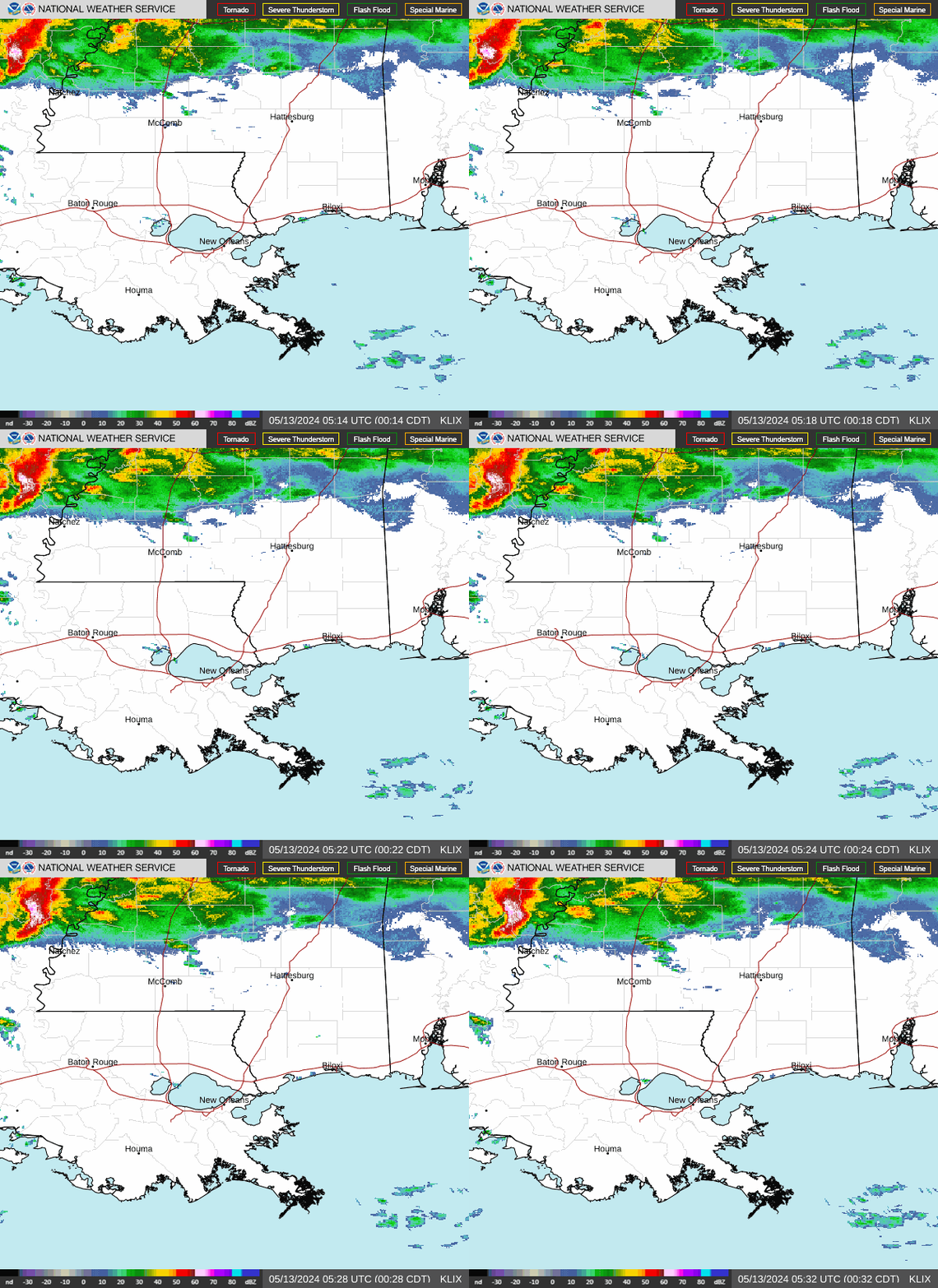
Storms from Tuesday have now shifted mainly across Central MS, South-central and Southeastern LA. This is where the biggest threat for severe weather and even flash flooding will be today. Tornadoes are expected once again, and the New Orleans Metro is including in that threat.
A Moderate Risk (4 out of 5) for severe weather and tornadoes has just been issued by the Storm Prediction Center. This includes the New Orleans Metro, Gulfport, Biloxi, and Mobile, AL just to name a few places. It’s the area shaded in red. If you live in that shaded area, you should plan for bad weather to occur today and have a plan you can quickly put in place should you need to take shelter. A few strong tornadoes are possible with these storms as we head into the afternoon.
TIMING
HRRR Model at 3pm
Storms between noon and 3pm will only become more intense and more likely to produce tornadoes and damaging winds across SE Louisiana and the southern half of Mississippi.
HRRR Model at 6pm
The main line of storms should push through the NOLA Metro by 6pm and be making its way into MS. The tornado threat may be more confined to the line itself during this time as more “spin-up” type tornadoes develop in the line.
HRRR Model at 10pm
The line picks up in forward speed and races across MS into the Mobile, AL Metro by 10pm or so. Again, wind damage and spin-up tornadoes will be possible in this line.
That’s the update for now. We always encourage you to have several ways to receive weather alerts. We will post updates on our Facebook page and you can always reach out to us by messaging us through Facebook for specific questions. We are here to guide you through the storm!


