Looking Ahead
What We’re Seeing
We’re always on the lookout for the next storm. Check back daily to see what we’re seeing so you’ll always be ready for what’s coming across the horizon.
More Arkansas Rain
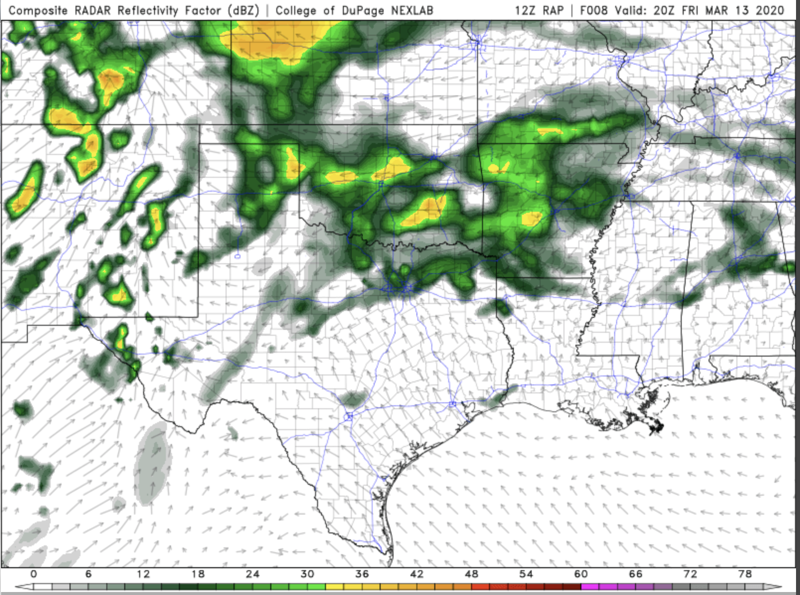
We are still looking at some more rain falling in Arkansas today. It’s been a wet week there, and so, more rain isn’t really welcome. Here’s a bit of good news, however… we aren’t seeing a big risk for Big Bad Storms there today.
Next rain maker on Friday
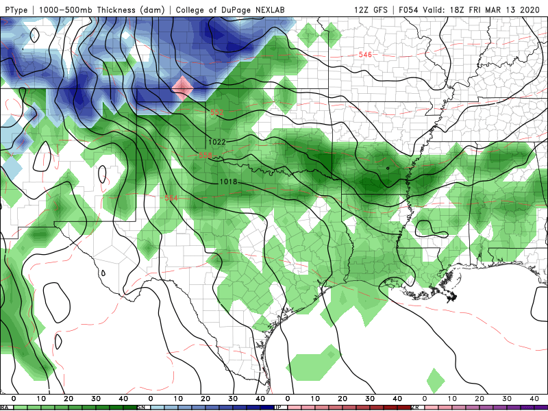
Arkansas will see some spotty showers on Thursday, but the bigger rain maker moves in Friday.
Slight Risk in Arkansas and Mississippi
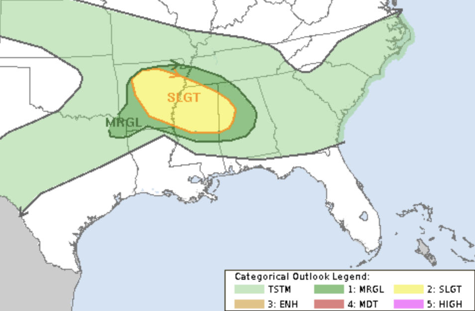
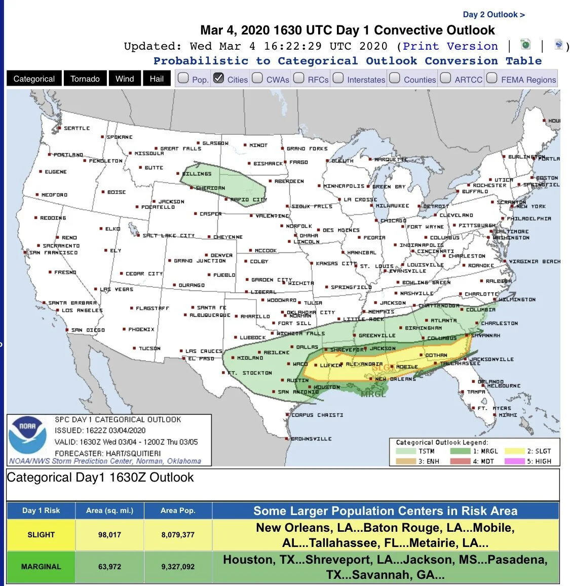
As we’ve been sharing with you this week, it’s a rainy week in much of Arkansas. It’s also bringing a slight risk for some Big Bad Storms. The map above is from the Storm Prediction Center and is valid for today.
Rainy pattern returns to the South
It rained today, and it’ll rain again soon. This is especially true for Arkansas.
Arkansas Rains Marching In
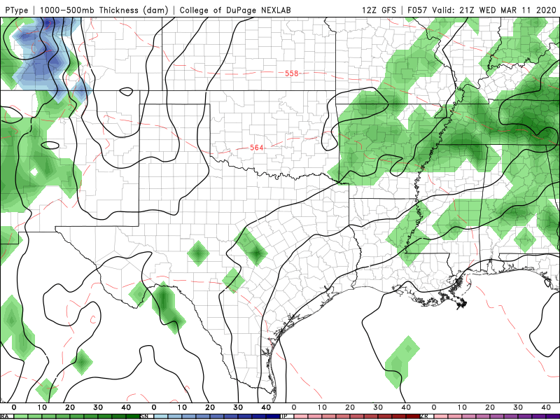
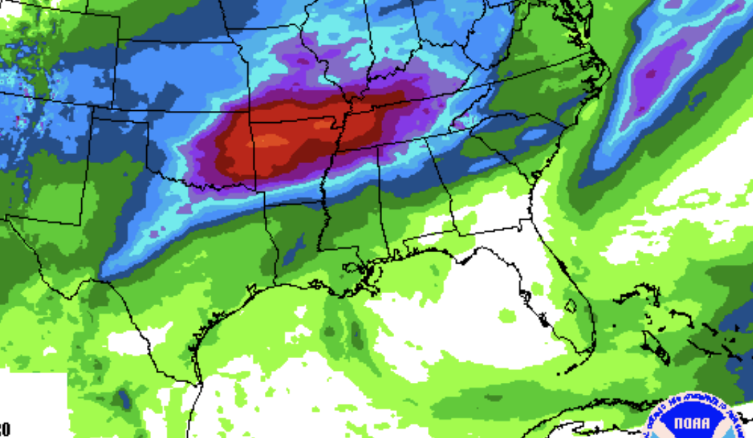
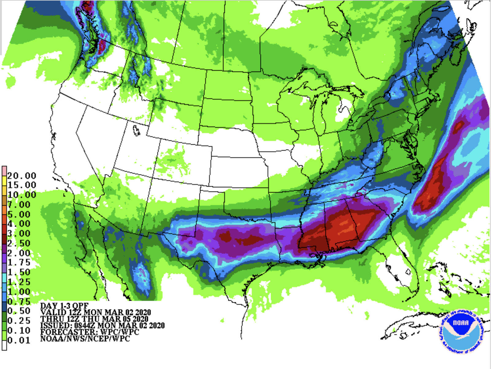
This week, the rains return to the South. We’ve got a series of showers that will swing through the area this week. There are two pieces of good news out of this. First, it’s not looking like these showers are bringing a lot of Big Bad Storms with them. It should mostly be just rain. Second, the areas getting the most rain are not the same areas that had the biggest flooding problems in February.
Nice Weather Returns
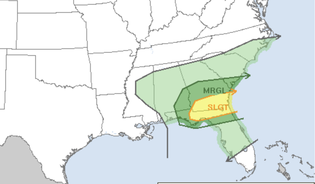
There is still a chance for some Big Bad storms along the Florida-Georgia line today. But, for the rest of the South, the weather is looking up. We’ll see sunshine return and stay for several days. This will give these areas a chance to dry out a bit and for folks to finally get outside to enjoy the weekend.
Another round of storms along the Gulf Coast
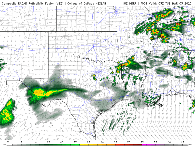
This morning already brought some Big Bad storms along the I-20 corridor, but storms could focus closer to I-10 later today
Big Bad Storms possible this evening
Hi-res models continue to show some strong to severe storms developing for Arkansas, Missouri to Kentucky and into Tennessee tonight.
Stormy First Half of the Week
This is going to be a wet and stormy first half of the week across much of the South. Not only are we looking at a risk for some Big Bad Storms, but there’s also a risk for more flooding in areas that received way too much rain in February.
Enjoy Your Weekend Weather
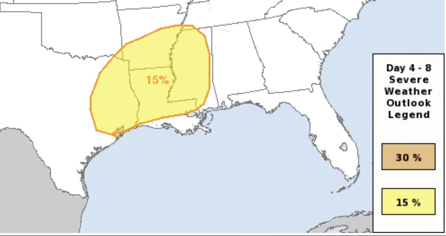
This is the Day 5 Severe Weather Outlook map from the Storm Prediction Center. It is rightly highlighting an area that could see some strong storms developing on Tuesday.
An overall nice weekend on tap
A short break in a rather active weather pattern will bring a mostly dry forecast this weekend.
At Least It’s a Dry Cold?
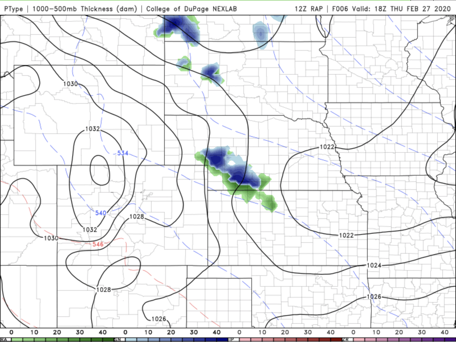
We are expecting a few light showers in the Plains today. Those will start off as snow, but could become mixed as the day warms just a bit this afternoon. But, as you can see from the image above, those don’t look like anything too big.
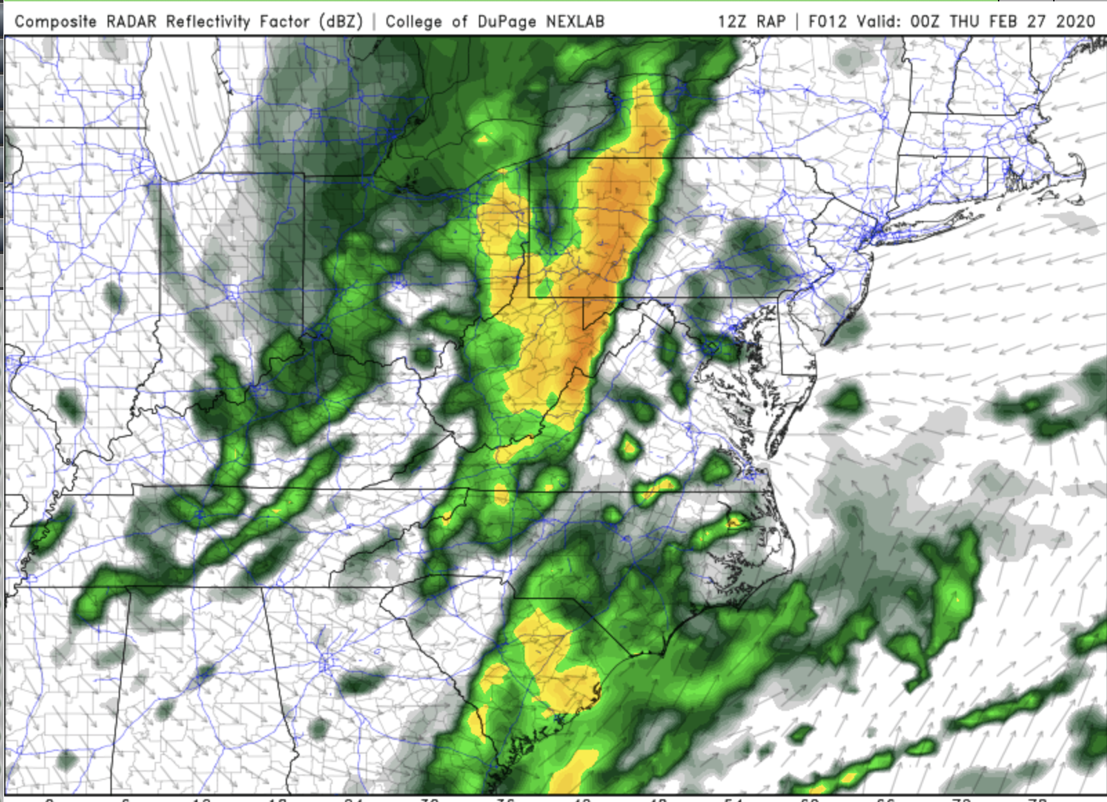
Storms still on track for Mid-Atlantic this evening
Storms are likely to continue eastward into Virginia and Pennsylvania this evening. Some of those could be Big Bad storms.
Afternoon Storms in Virginia
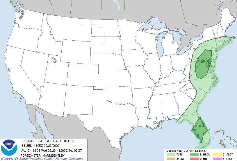
This afternoon, there is a small risk for some Big Bad Storms from Virginia up into Pennsylvania. This doesn’t look like it’s going to be a major outbreak, but certainly thunder and lightning are likely as a squall line develops and travels east this evening.
East Coast Rain
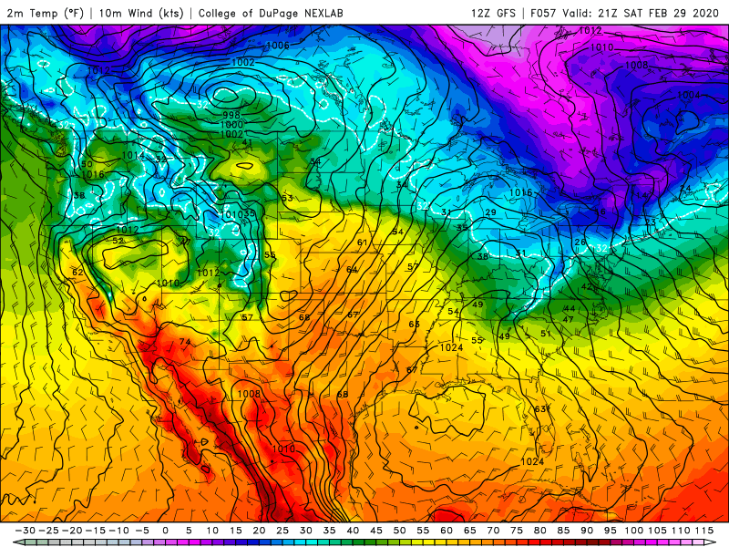
Most of the country is looking at a pretty nice day for late February. However, there will be some rains along parts of the East Coast today and tomorrow. The heaviest rains today will be in northern Florida including Orlando and Cape Canaveral. Fortunately, we aren’t expecting an outbreak of those Big Bad Storms with this band of rain.
Low chance of Big Bad storms Monday afternoon
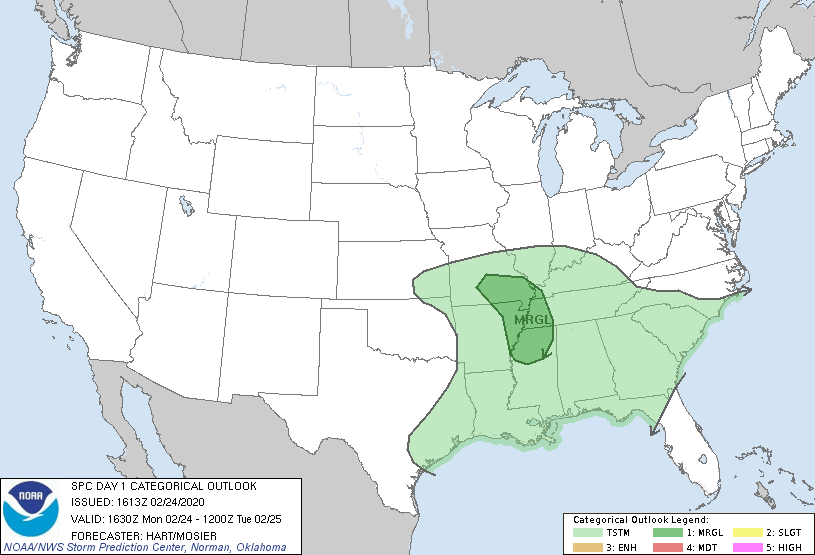
We’re watching from southern Missouri to northern Mississippi for a small chance of severe storms
Finally, Some Sun!
Finally, sunshine returns to much of the country today, especially those areas that have seen so much rainfall over the past month. So, while it is still cold out there, make sure you spend a little time outside today and tomorrow to enjoy this break in the rain.
Rain pushing east, snow for some
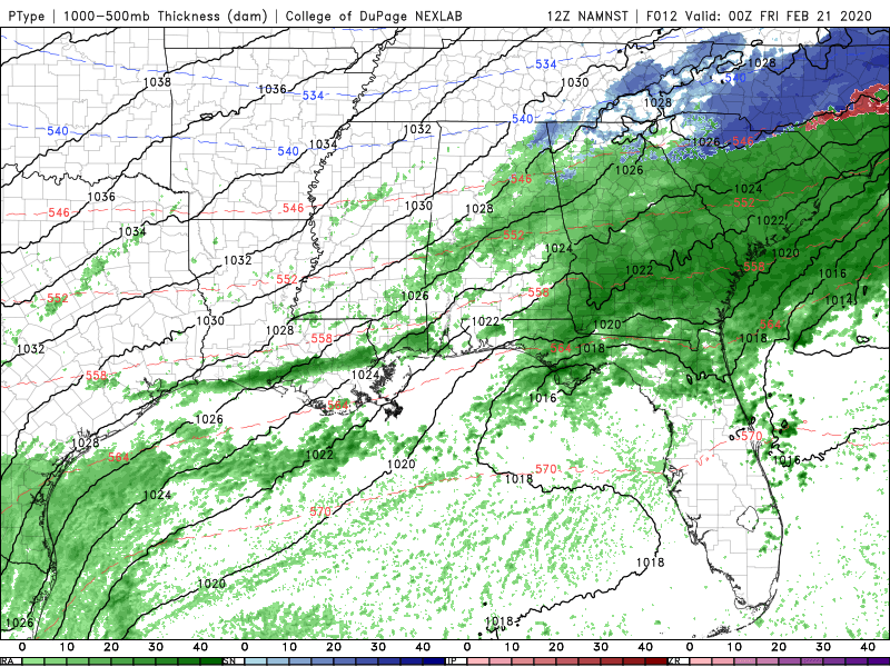
The storm system which has soaked the South, again, will push off the coast Friday.
It’s Still Raining!
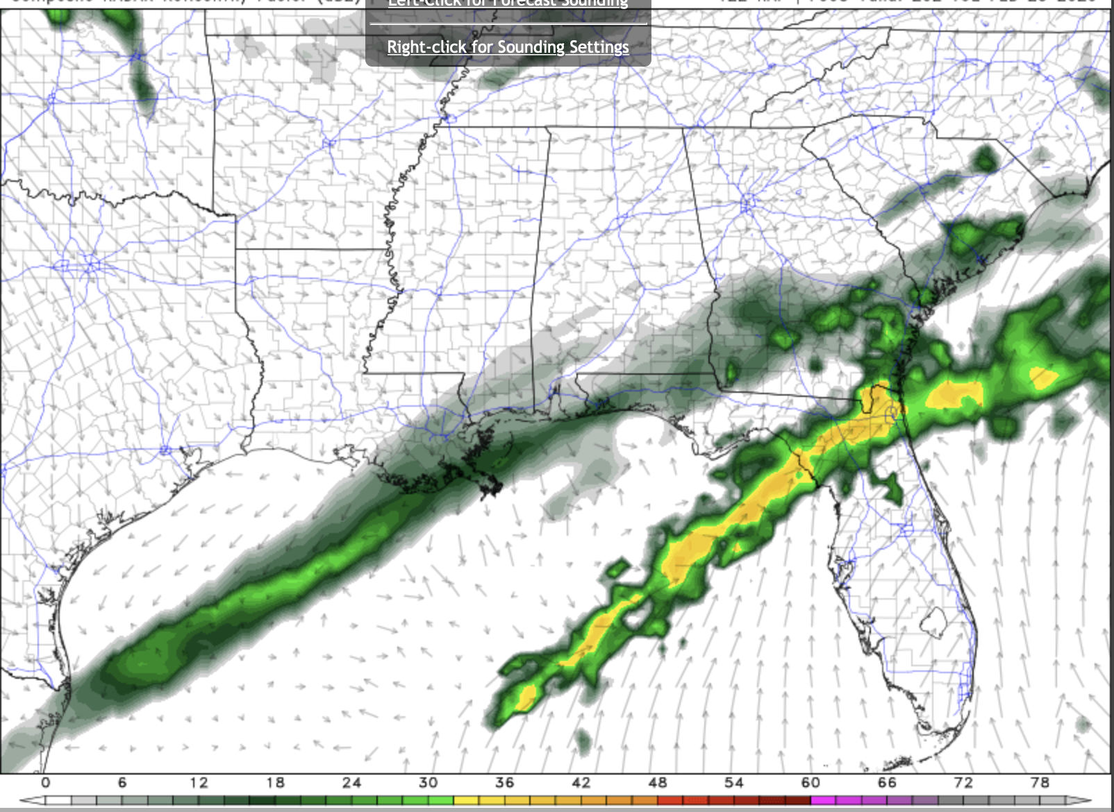
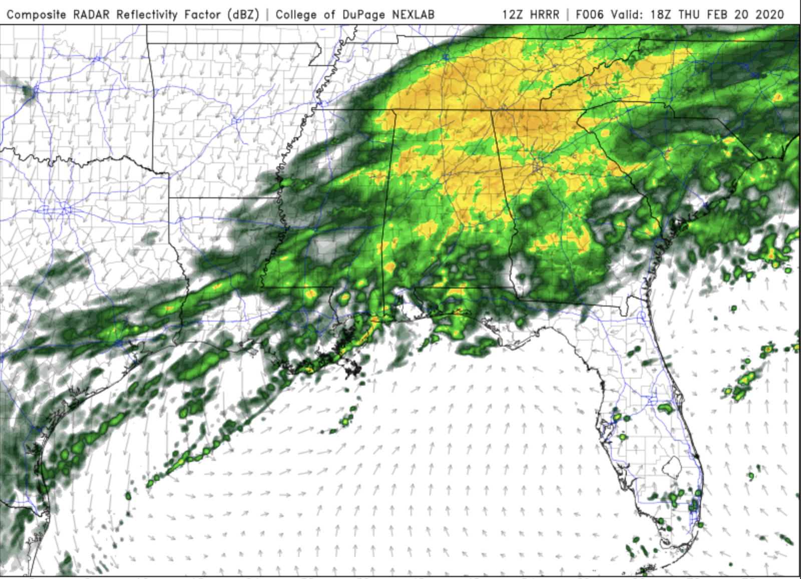
The areas receiving the most rain today are Alabama, Georgia, and South Carolina. The image above is the HRRR model output for lunchtime today, and you can see that heavy rain across the Deep South.
More rain for the South tonight
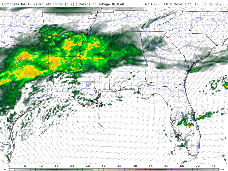
Rain has already picked up again along I-20 this afternoon, but even more is on the way for tonight.
Help us help more people.
We will never charge you for the potentially life saving information we share in our Big Bad Weather Blog. But, it does cost us time and money to do. So, if you would like to see us reach more people in more places, please click this button.

